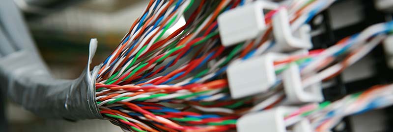
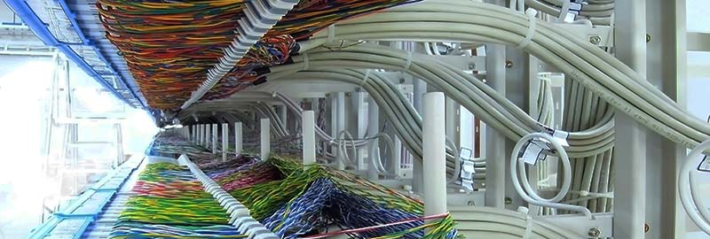
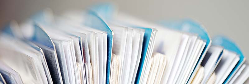
Many companies keep large volumes of technical paper documentation about their network assets. Paper documents make it hard to access information and keep them updated. Companies have to face the challenge of digitizing their paper archives. This ensures they stay competitive in the age of the digital revolution when they are required to quickly access data.
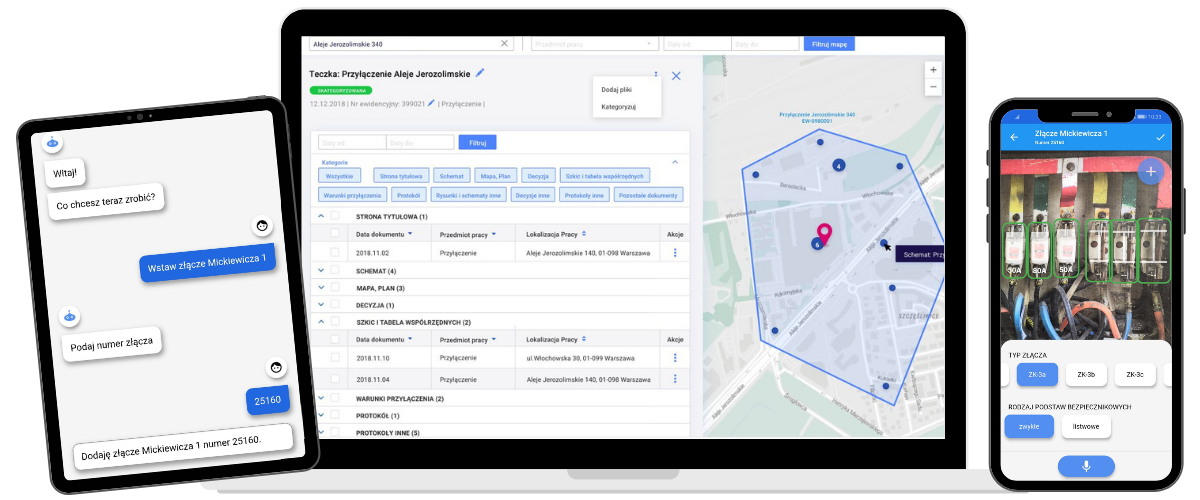
LocDoc automatically reads and categorizes scanned documents to create a spatial database. As a result, files are easily accessible through a digital map.
With digitization, all authorized employees get access to the company’s documentation. This increases the efficiency of business operations. Also, automated documentation processing significantly accelerates the process of building digital asset models.

How does LocDoc work?
LocDoc is an application that automatically categorizes different papers, maps, decisions, protocols, and other similar documents. It analyzes their content and assigns their dates and locations.
Based on locations, LocDoc creates a spatial document database. The categorization module uses artificial intelligence mechanisms to achieve this as fast as possible. They first “learn” by analyzing documentation samples and then use an optimally tuned model to categorize documents for your company.
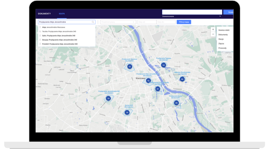
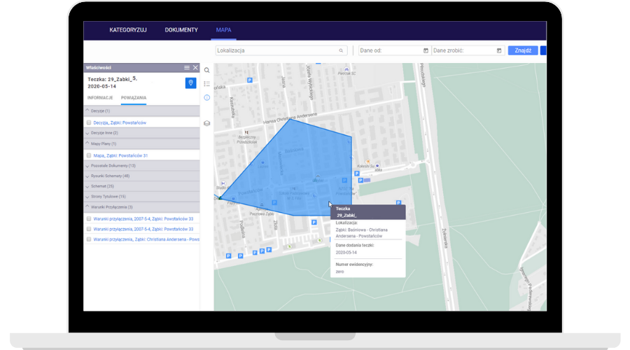
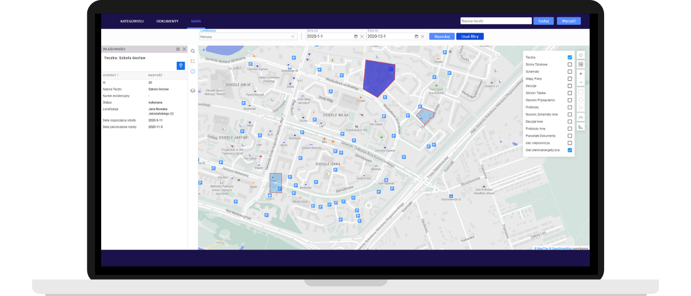
The users get an intuitive interface for efficiently searching for documents, finding their locations on a map, and browsing their contents. It’s also possible to search for specific information in the documents.
How does categorization work?
The LocDoc application automatically analyzes and categorizes documents by assigning their attributes, such as:
Type (e.g. an as-built map, internal station scheme, connection acceptance protocol, connection conditions, etc.)
Date (e.g. of a protocol, administrative decision, condition issuance, etc.)
Location (e.g. an investment’s postal code, plot registration number, etc.)
Document types are specific to your industry or even your company itself. Currently, LocDoc’s categorization module recognizes over 10 document categories. They include connection conditions, maps, internal schemas, field sketches, coordinate tables, decisions, and protocols.
These categories fulfill the requirements of the energy industry perfectly, but they can also be used in other network organizations, such as gas or heating companies. The AI/ML model used for categorization can be adjusted according to the customer’s needs and recognize other types of documents.
LocDoc in the paper document digitization process

Who is LocDoc for?
LocDoc is particularly useful for organizations that:
- have as-built, investment, or project documentation about their infrastructure,
- use documentation about recurring events related to the infrastructure,
- use information from hard-to-reach paper documents for different business processes,
- want to provide their employees with convenient access to complete, up-to-date knowledge about geographically dispersed assets and the infrastructure.
LocDoc is the first step to the fast, full digitization and building of a professional technical documentation archive.
Automated document categorization maintains about 95% accuracy and it’s incomparably faster than the manual process.
What are the benefits of the precise categorization of your archives?
Easy access to the documentation for the entire company & increased efficiency of key business processes
Safety and lower cost of building and maintaining documentation archives
Ease of use – LocDoc is available as a cloud service
Option to browse maps to view documents assigned to specific network objects
Are you interested in this topic?
Check out our articles about digitizing documentation with AI:

Would you like to use LocDoc’s potential?
Learn how you can improve document processing and lower the cost of this process with LocDoc. Schedule a short call with one of our experts and see get to know your options to accelerate digitization at your company.
LocDoc is a part of the GlobIQ platform for building and maintaining digital network asset models.
Discover all the possibilities of GlobIQ