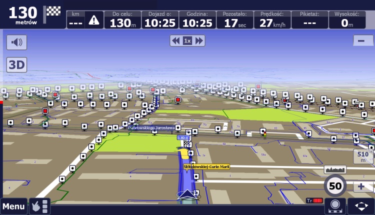
Globema has developed an application which displays GIS data on electric grid from the Smallworld database directly on a Tablet PC with a car navigation system. The solution navigates field teams of a utility company directly to the selected network elements (eg station or poles) or to energy consumers.
The software created in Globema enables displaying on the car navigation screen the electric grid (HV, MV and LV cable and aerial routes), as well as poles and transformer stations, along with basic alphanumeric data. The application allows searching for objects by the available criteria (eg station number) and automatically displays information about network elements (eg station name and number) when passing near them.
Field teams of a utility company, equipped with Tablet PCs with Globema’s application, will be able to more efficiently react to network outages, connect new customers or carry out network maintenance tasks. It is also possible to enhance the car navigation system with data on other types of networks, like telecommunications, gas or heating.